Israel deletes controversial Lebanon map from English account
2026-08-09T22:13:10+00:00


Shafaq News- Beirut
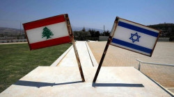
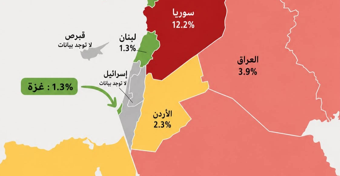
Israel’s Foreign Ministry removed a map on Sunday that sparked controversy for depicting parts of southern Lebanon within the Israeli borders in a post about acute malnutrition rates among children in the Gaza Strip.
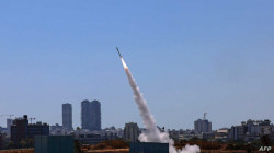
In April, following the war between Israel and Hezbollah, Israeli Public Broadcasting Corporation reported, citing senior military commanders, that the army had established a designated operational zone inside Lebanon, barring residents of 55 southern villages from returning home.